VERITAS CAPUT: Science, Politics and the Search for the
"True Source" of the Mississippi River Headwaters
A film project for the Minnesota Alliance for Geographic Education,
with the support of the Minnesota Historical and Cultural Legacy Fund
and the Minnesota Region 2 Arts Council
The Mississippi River is the third largest river system in the world and, as such, has played an important role in the history of our state and our nation. The river itself, and the search for its source, has captured the imagination of generations of adventurers, explorers, and travellers, many of whom have undertaken or dreamed of the journey to northern Minnesota to see head of the mighty river for themselves.
Although Henry Rowe Schoolcraft is credited with being the first to "discover" the headwaters of the Mississippi Rivers, the actual story of the search for and the mapping of the Mississippi River's "Veritas Caput" is far broader than the confines of Lake Itasca. Native Americans, french fur trappers, and early American hunters and tradesmen had a familiarity with the headwaters region that, while not defined on paper in the form of published accounts or maps, nonetheless aided other early explorers in finding their way along various headwater tributaries.
The question of officially defining and mapping the river's "True Source" had great importance politically and historically, but was a complicated process due to the challenges posed by unique aspects of northern Minnesota's geography, hydrology, landscape, and ecosystems. Definitions and techniques used by scientists of the day to define the sources of rivers in Europe and the mountainous or hilly coastal regions of the United did not easily apply to a river whose source meandered somewhere in the flats of northern Minnesota bogs, marshes, and waterlogged forests.
In the early 1800's, a river's source was generally defined as being that tributary source which sprang from the farthest end of a rivers flow, in the cardinal opposite direction of the river's mouth; using that definition, Giacomo Beltrami was right to claim Lake Julia as the source of the Mississippi. However, as the sciences of hydrology and geography evolved over the next century, this definition would evolve and change as well, leading Schoolcraft to claim the source as the outlet of Lake Itasca, while Brower claimed the the Heute Terre near DeSoto Lake, Glazier would claim Elk Lake, and Nicollet defined it as springing from the bogs of what would later be called the Nicollet Creek valley.
Though State Geologist Newton Winchell concurred with aspects of Nicollet's, Brower's, and Glazier's claims, and affirmed that Beltrami's reasoning was sound and scientific for his era, Schoolcraft remained the official "discoverer" of the source, and the geological and hydrological facts were further obscurred by the politics of the day as a battle ensued to define the headwaters basin and to delineate what would officially become Itasca State Park.
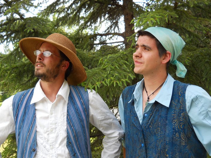
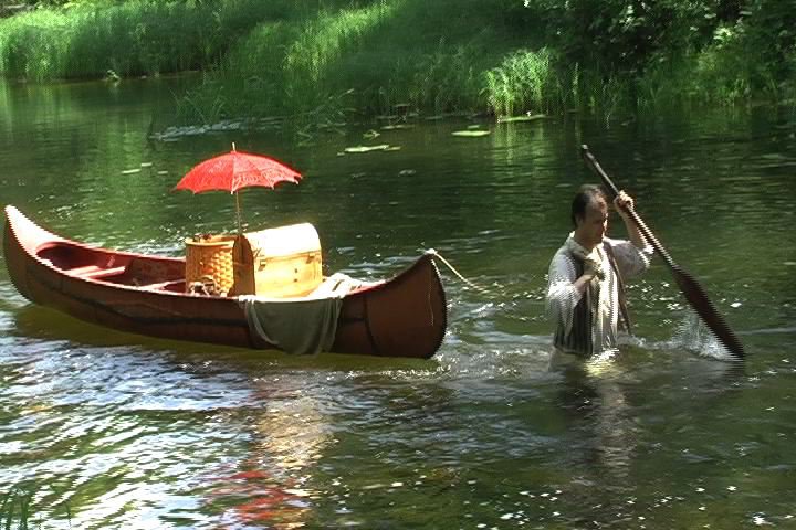
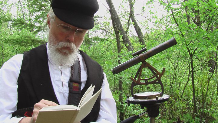
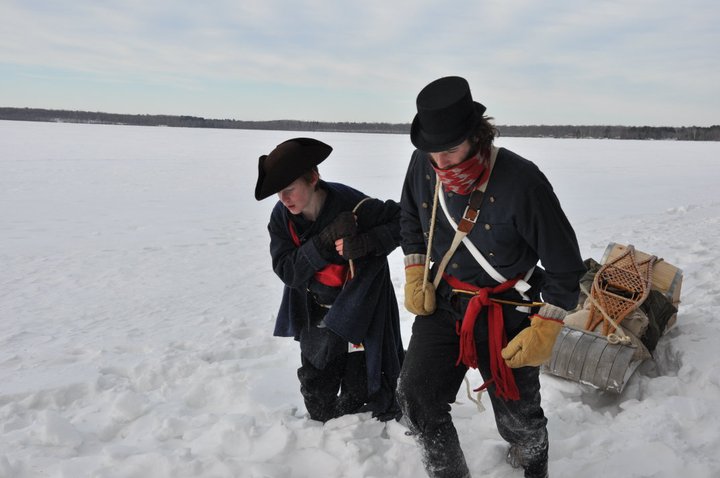
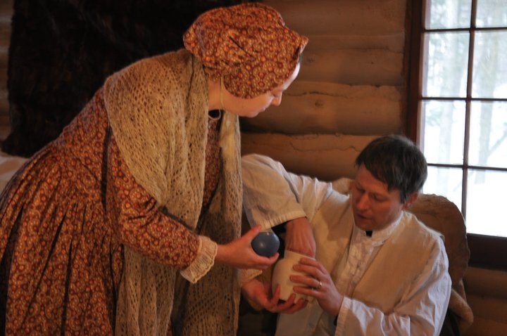
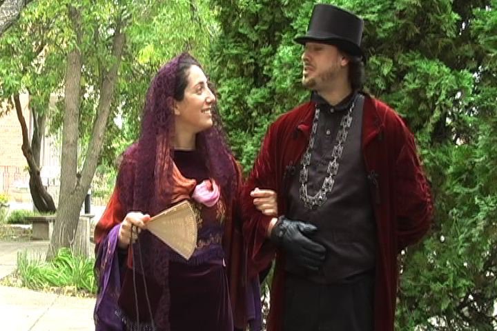
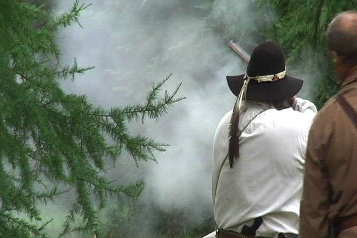
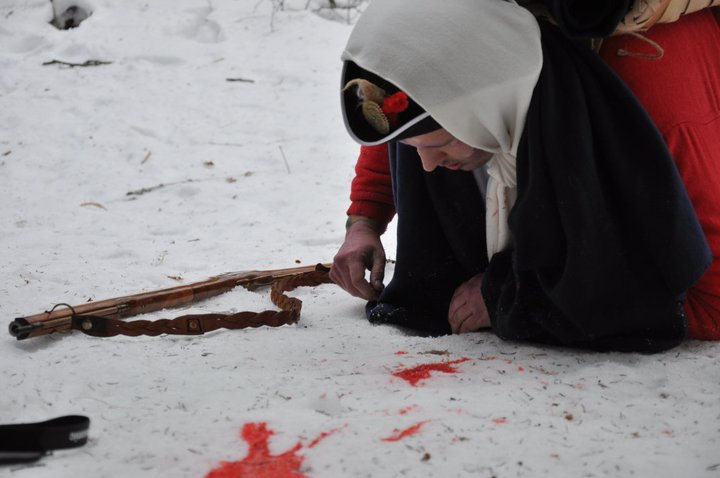
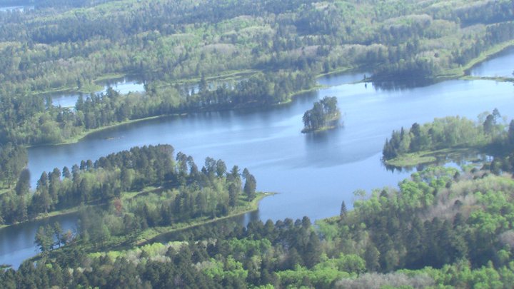
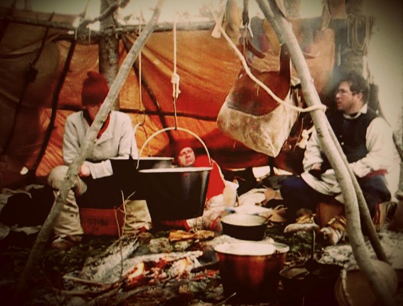
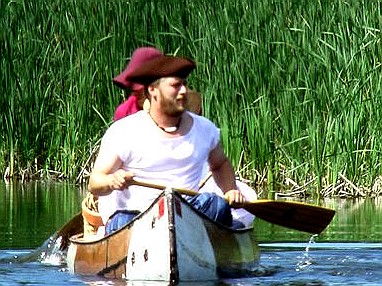
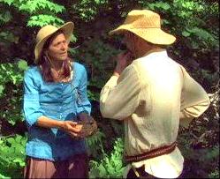
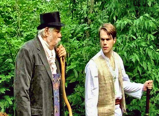
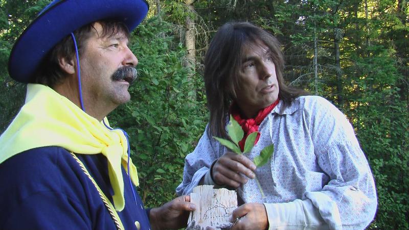
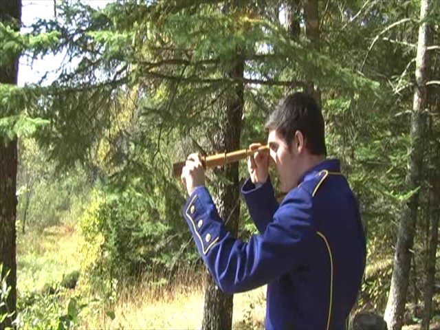
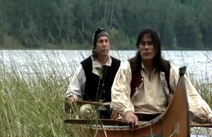
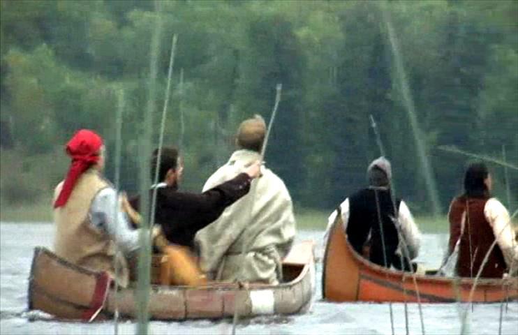
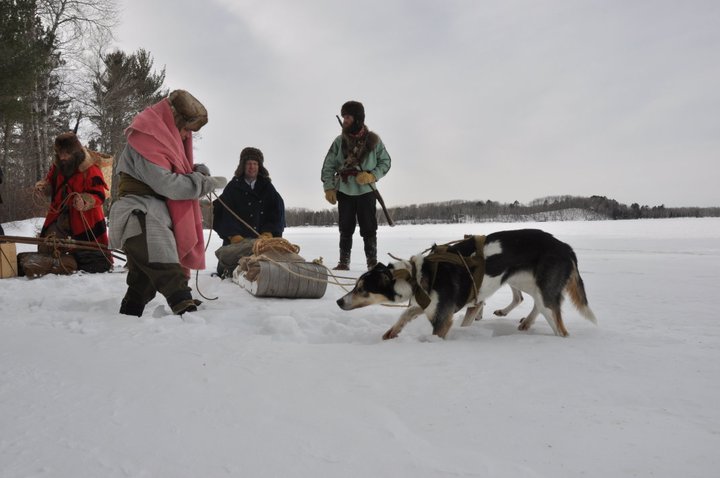
Our mission is to research the history behind efforts to map and define the source of the Mississippi, and to document the story of its exploration through film. We hope to create a "virtual fieldtrip" by capturing the essence of natural landscapes and waterscapes of the headwaters region, as well by staging historical re-enactments of various expeditions and mapping parties, based on their journals, maps, and other primary sources. Interviews with regional experts on the history, geography, culture, and settlement of the region, and how these played a part in the definition and preservation of the headwaters, are also an important part of our story.
In addition to working on the production of a feature-length documentary film, we created this interactive website to help you explore the Mississippi Headwaters region on your own.
"The Source"
Educational
Resources
Resources for the modern day river explorer
Virtual Journey
to the Headwaters
Our Cast of Characters
Let us take you to the The Source!


Questions? Comments?
Please let us know
by signing our guestbook!
Explorer Expedition Timeline & Maps

